Our Projects
Transforming Real-World Assets into Digital Intelligence
Explore how Digitwin has delivered high-precision reality capture, digital twin, and geospatial solutions across buildings, infrastructure, industrial facilities, heritage landmarks, and public sector projects.
Existing Building Scan-to-BIM
Comprehensive laser scanning of existing buildings to produce accurate BIM models for renovation, asset management and digital twin applications. Our survey-grade workflows deliver reliable as-built information that reduces rework and supports the entire building lifecycle.
Terrestrial Laser Scanning
Point Cloud Processing
BIM Modelling
As-Built Documentation


MRT Infrastructure Capture
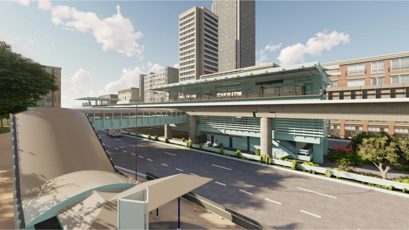
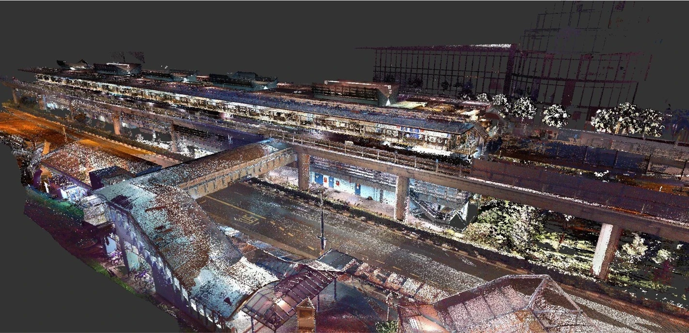
High-accuracy reality capture of rail infrastructure including stations and trackside assets. The resulting digital twin provides a reliable foundation for maintenance planning, engineering upgrades and asset management while minimizing operational disruption
Mobile LiDAR
Static LiDAR
Tunnel Scanning
BIM
Asset Mapping
Unique Digital Twin
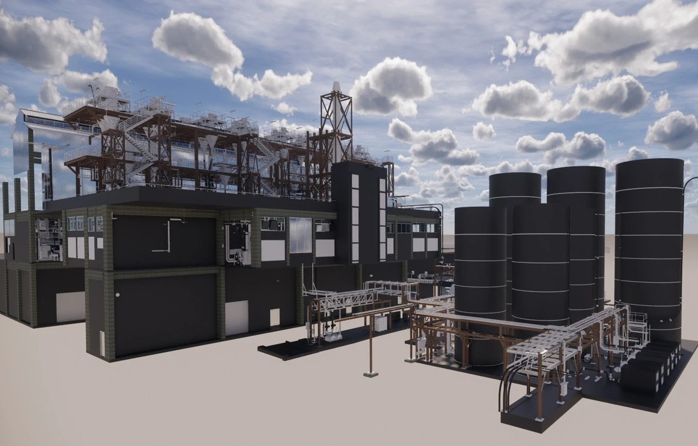
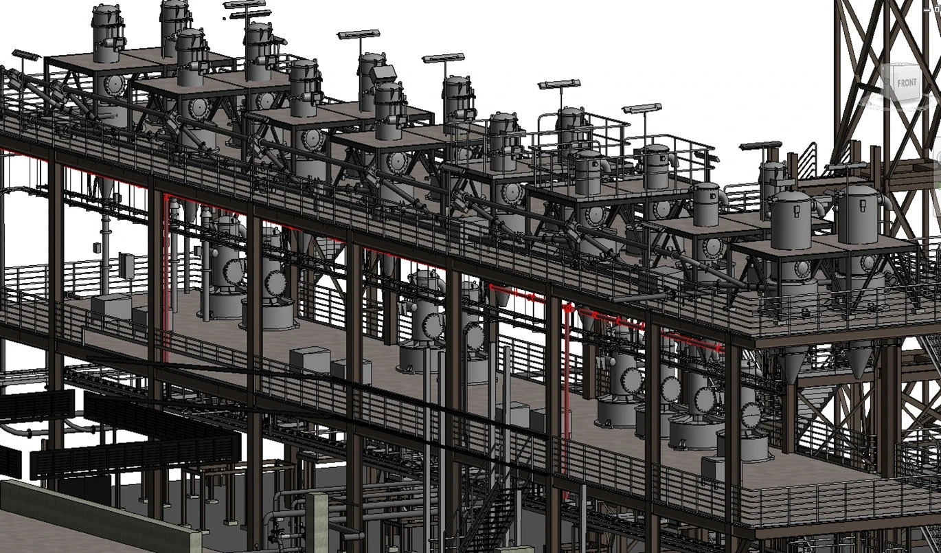
Capture complex industrial facilities to create an accurate digital representation for operations, maintenance and future expansion. The digital twin enables safer planning, better coordination and faster decision-making across engineering teams
LiDAR Scanning
UAV Photogrammetry
BIM
Digital Twin
Asset Intelligence
Heritage Building Documentation
Preserve historically significant buildings with millimetre-accurate reality capture and digital documentation. Detailed digital twins safeguard valuable architectural information for restoration, conservation and future generations.
High-Definition Laser Scanning
Photogrammetry
Heritage Recording
BIM
Digital Archive of a iconic Complex Building
Capture complex office and commercial facilities to create an accurate digital representation for historical preservation for Urban Redevelopment of Singapore.. The digital twin enables digital records archived for future architect and engineer professions to reference on its multi layer complex design and construction. Facilitate alteratrions and re-construction work.
Terrestrial Laser Scanning
Point Cloud Processing
BIM Modelling
As-Built Documentation
Metaport 360 photo capture
Engineering Case Study (MRT)
LiDAR scanning of train infrastructure was used to generate an accurate 3D reference model, which was then implemented in Unreal Engine for interactive visualization.
LiDAR Scanning
Digital Twin
Unreal Engine Implementation
Sentosa
Aerial LiDAR scanning of the island was conducted using UAV-based systems, with the resulting point cloud processed to produce accurate spatial data. This provides a reliable dataset for further analysis and mapping applications.
UAV LiDAR
Point Cloud Processing
Photogrammetry
Museum and cultural preservation project for National Heritage Board of Singapore.
RGB Camera photography
Photogrammetry Processing
Coastal Monitoring
Monitor coastlines and reclaimed land using repeatable survey workflows that detect terrain and shoreline changes over time. Digital twins provide a reliable platform for environmental monitoring, infrastructure planning and long-term asset management.
UAV LiDAR
Bathymetric Survey Integration
Photogrammetry
Change Detection
Ready to Digitize Your Assets?
Transform Your Physical Assets into Actionable Digital Intelligence.
Whether you're planning a new development, documenting existing assets, managing infrastructure, or creating a digital twin, our experts deliver survey-grade spatial data that helps you design, build, manage, and make better decisions with confidence.