Built on 30 Years of
Surveying Excellence
Digitwin is powered by the expertise of YJP Surveyors, combining decades of geospatial experience with modern reality capture and digital twin technologies.
Our Journey
From Surveying to Spatial Intelligence
For over 30 years, we've evolved alongside the latest advancements in geospatial technology—transforming traditional surveying into intelligent digital twin solutions for the built environment.
2008
2016
3D Scanning Department Started
2017
2018
Acquired First Survey Grade LiDAR Drone
2020
2021
Research & Development
Why Us
Trusted Expertise. Proven Precision. Future-Ready Solutions.
From accurate reality capture to intelligent digital deliverables, we combine proven expertise with advanced geospatial technologies to help clients make faster, smarter, and more confident decisions.
Trusted Experience
From infrastructure and commercial developments to complex geospatial projects, our experienced team delivers reliable surveying and digital solutions backed by decades of industry expertise.
Survey-Grade Accuracy
Every scan, model, and dataset is captured with exceptional precision, ensuring dependable information for planning, engineering, construction, and long-term asset management.
Advanced Technology
We leverage cutting-edge technologies including LiDAR, Mobile Mapping, BIM, Digital Twins, Gaussian Splats, and AI-powered workflows to deliver smarter spatial solutions.
End-to-End Delivery
From on-site data capture to fully processed digital deliverables, we manage the complete workflow to provide a seamless, efficient, and consistent client experience.

OUR IMPACT
Years of Geospatial Experience
Delivering trusted surveying and geospatial expertise across infrastructure, construction, and the built environment for over three decades.
0+
0+
Projects Delivered
Accuracy
Survey Grade
of Square Metres Captured
Millions
Trusted Worldwide
Global Clients
THE PEOPLE BEHIND THE PRECISION
Powered by People. Driven by Precision.
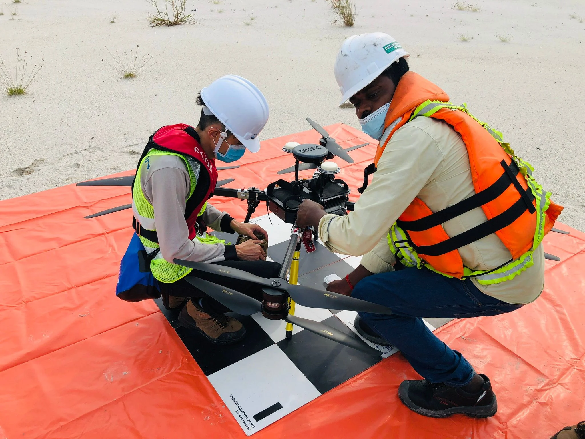
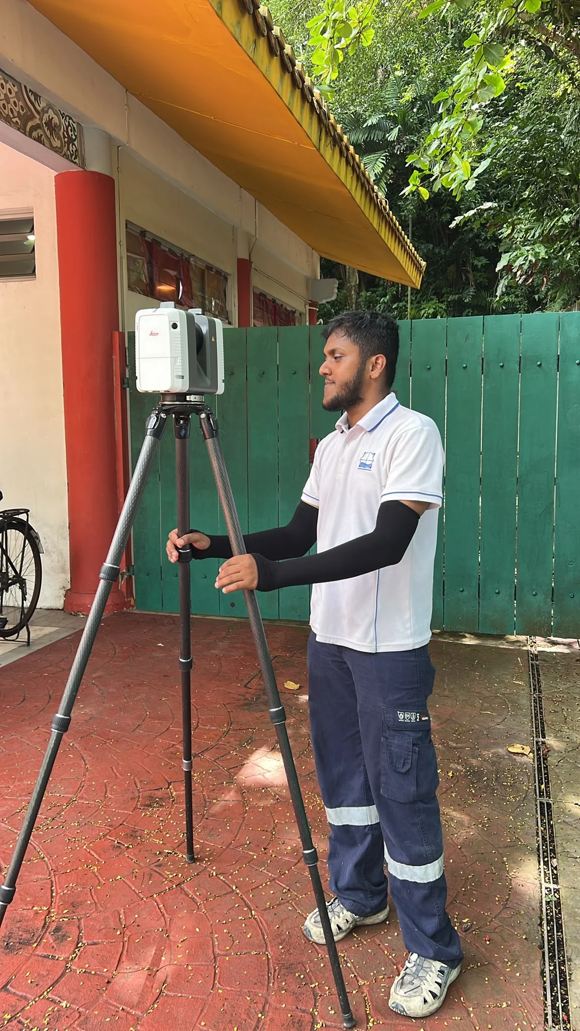
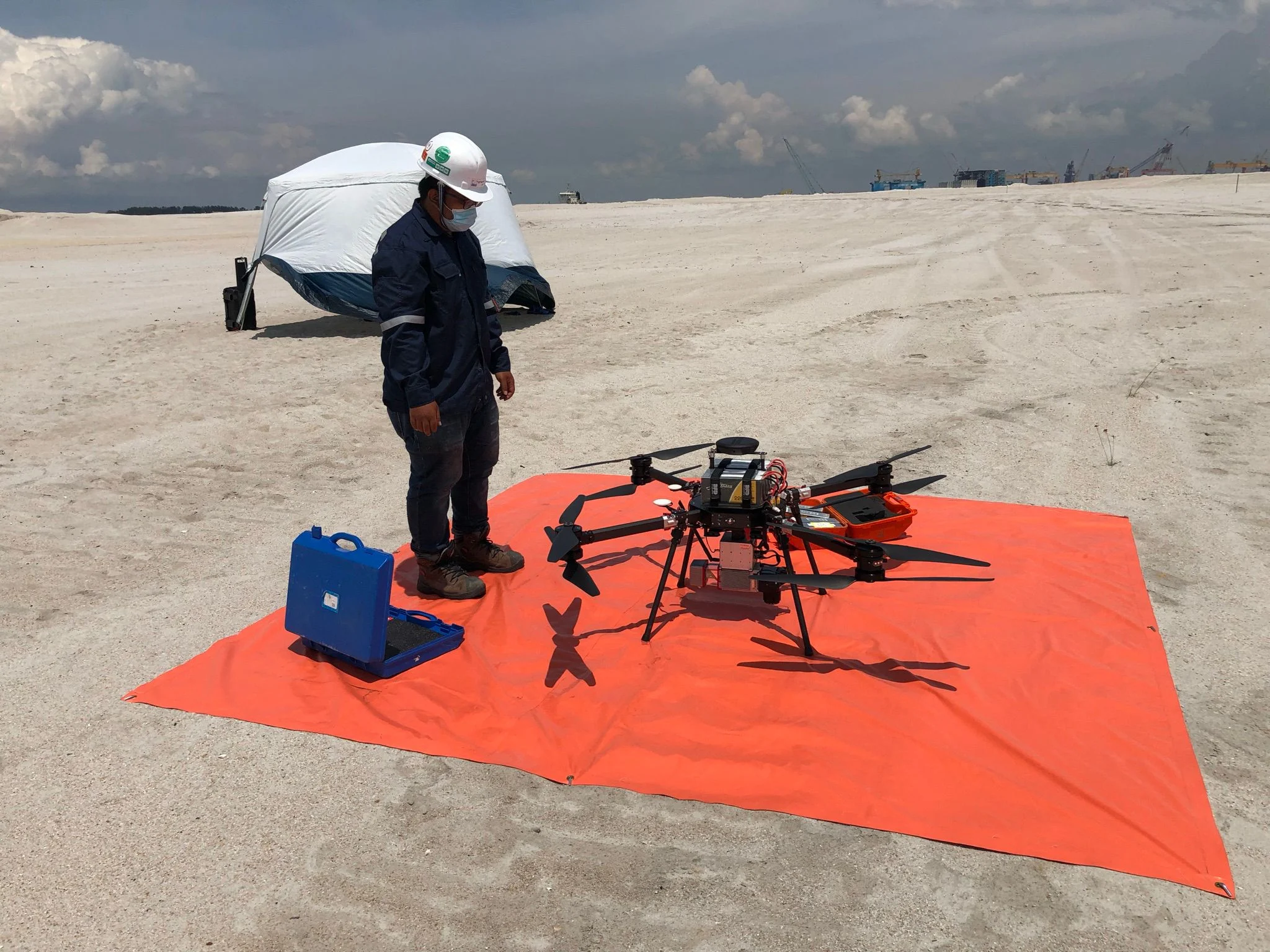
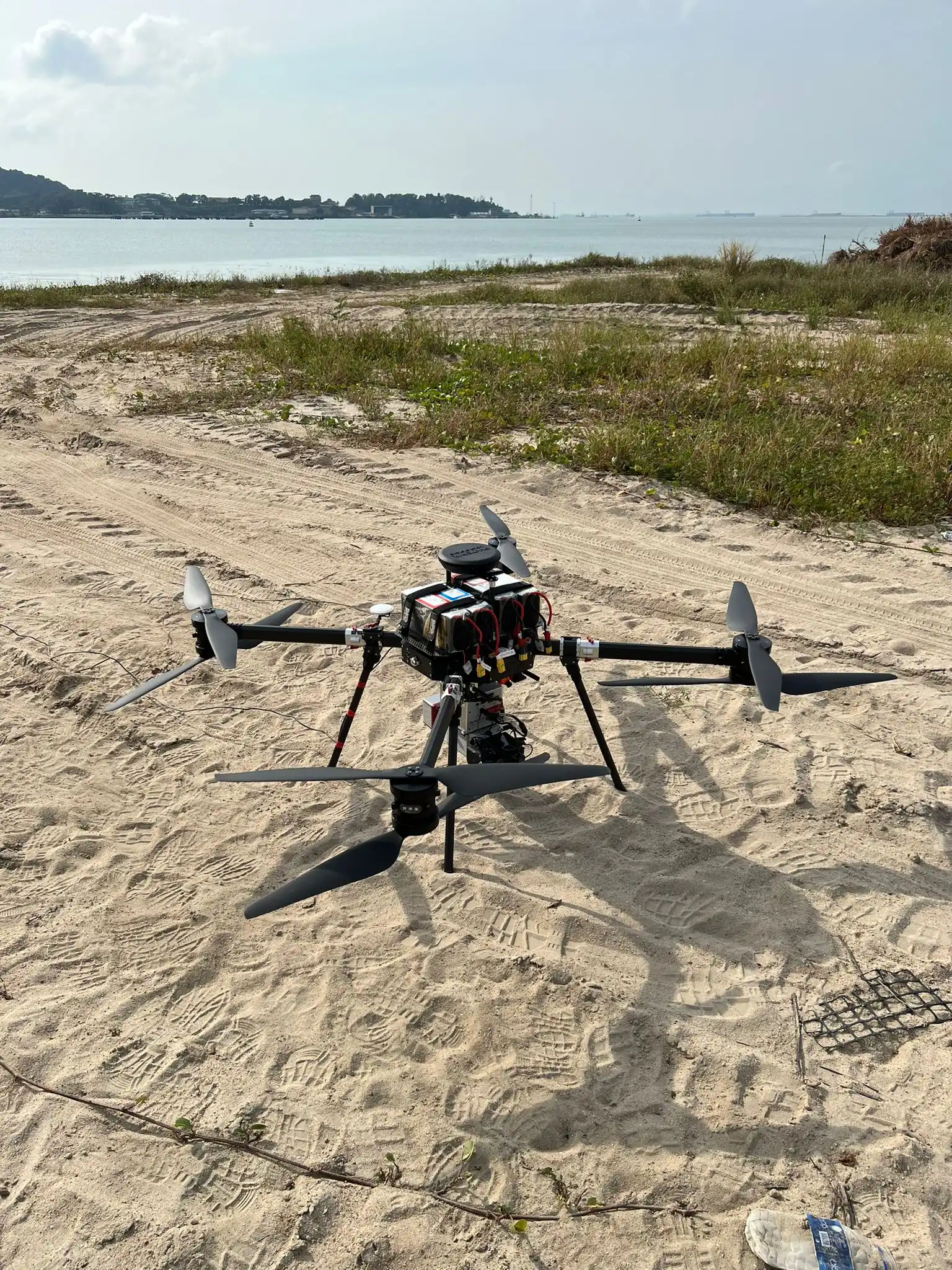
Our surveyors, engineers, and geospatial specialists combine decades of field experience with cutting-edge reality capture technology to deliver accurate, reliable data for every project—from infrastructure and heritage sites to industrial facilities and large-scale developments.


Ready to Digitize Your Assets?
Transform Your Physical Assets into Actionable Digital Intelligence.
Whether you're planning a new development, documenting existing assets, managing infrastructure, or creating a digital twin, our experts deliver survey-grade spatial data that helps you design, build, manage, and make better decisions with confidence.